This one is critical
Getting Around
You almost certainly don't need a car in Boulder. Here's how to actually get around.
Airport → Boulder
Boulder is roughly 45 minutes from Denver International Airport (DIA) by car in normal traffic, longer in snow or at rush hour.
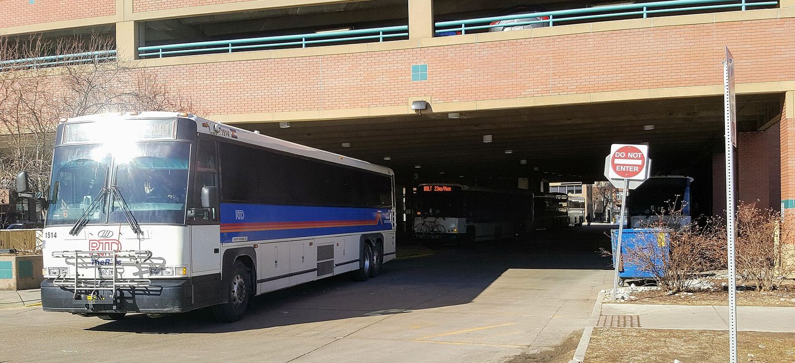
The bus you want is RTD's AB route, which runs directly between DIA and Boulder — no transfer in Denver, and it takes luggage. It's the cheapest way in by a wide margin and, in snow, often the least stressful. Private shuttle vans and rideshare both work too; rideshare from DIA to Boulder is the most expensive option and surges hard on winter evenings.
Fares and timetables are RTD's and they change — check rtd-denver.com before you fly.
RTD / Flatiron Flyer
RTD is the Denver–Boulder regional transit agency. The Flatiron Flyer (route FF1) connects Denver's Union Station to Boulder along US-36 — that's the Denver-to-Boulder route, separate from the airport bus above. Fares and schedules are set by RTD directly — check rtd-denver.com for current details, since these change.
Festival transportation / shuttles
Sundance hasn't announced whether it will run dedicated festival shuttles in Boulder. If it does, that'll come from the festival or the City of Boulder, and we'll link it here. Until then, plan on the SKIP, the HOP and walking — which, for the downtown venues, is genuinely faster than driving.
The SKIP
The SKIP runs north–south along Broadway, with stops close to most of the confirmed venue areas — CU Boulder campus, Pearl Street, Boulder High School, and the Boulder Main Library — plus the South Boulder and North Boulder residential areas where a lot of festival lodging will be. If you're staying off Broadway, this is probably your fastest way to a screening. It's a normal RTD-operated route — check rtd-denver.com for current schedules.
The HOP
The HOP is Boulder's local circulator bus, running a loop through downtown, CU Boulder, and the 29th Street area. It's a normal RTD-operated local route — good for short hops if you don't want to walk the full length of Pearl Street. Route and schedule: bouldercolorado.gov/services/hop-bus.
Walking
Boulder's downtown core is compact and walking it in January is completely normal — the sidewalks get cleared, and most of the venues are closer together than people expect.
The thing to know is that the venues are not all one cluster. Downtown is a 12-minute bubble, CU is its own, and three venues sit well outside both. Real walking times are in the next section — check them before you book two screenings back to back.
Biking / e-bikes / scooters
Boulder has an extensive network of bike paths, including the Boulder Creek Path running through the center of town, and is generally considered one of the most bike-friendly cities in the US. January weather (see Boulder 101) can make biking less appealing some days — dress for it.
Parking
Short version: park once, downtown, and walk or take the bus from there. Moving your car between venues during a festival is how you miss a screening.
The City of Boulder runs several public garages downtown — the ones nearest the Boulder Theater and eTown Hall are on 11th, 14th and 15th Streets, all within the 12-minute walking bubble above. Garages are cheaper than metered street parking for anything over about two hours, and far more likely to have space on a festival evening. Rates, hours and the full garage list are the City's: bouldercolorado.gov/services/parking.
CU Boulder's lots are managed separately from the city's, with their own rules and enforcement — if you're seeing something at Macky, Old Main or Muenzinger, check CU Parking & Transportation rather than assuming city rules apply.
Chautauqua is the one to plan around: its lot is small, it fills early even on ordinary weekends, and access there is restricted at times. Take the bus.
Any festival-specific closures or temporary restrictions will come from the City of Boulder. We watch their site daily and will post changes here.
Venue-to-venue travel times
Real walking times, measured along actual pedestrian routes rather than straight lines. Round up in snow.
The downtown cluster — all walkable to each other
- 4 mineTown Hall
- 8 minCasey Middle School Auditorium
- 10 minBoulder High School Auditorium
- 12 minCanyon Theater, at the Main Library
Measured from the Boulder Theater. These four plus the Theater itself are the easy ones — two films in a day, no transport needed.
The CU campus cluster
- 17 minMacky Auditorium — from the Boulder Theater
- 19 minOld Main — from the Boulder Theater
- 22 minMuenzinger Auditorium — from the Boulder Theater
Macky, Old Main and Muenzinger are within 6 minutes of each other. From Boulder High it's 7 minutes to Macky — that's your downtown-to-campus shortcut, not the walk from Pearl Street.
The three you shouldn't plan to walk to
- 23 minDairy Arts Center (Boedecker and Gordon Gamm theaters)
- 34 minCinemark Century Boulder — 12 minutes on from the Dairy
- 36 minChautauqua Auditorium
Take the SKIP or the HOP instead. Chautauqua in particular is uphill and unlit in places — in January, after dark, don't walk it.
Times are walking routes computed from each venue's address via OpenStreetMap. They're a planning aid, not a guarantee.
Maps
Sundance publishes its own festival maps, and those are the authoritative ones once the schedule lands:
Official festival maps at festival.sundance.org →Every venue on our Sundance page links straight to Google Maps, so you can pull directions to any single one right now.
Ask a Boulder Local
Have a question? Ask us. A real Boulder local will actually answer you.